
Great oil at a good price with slow shipping
Closest thing to the factory marine sterndrive. Its toxic, so wear a proper mask to protect yourself. The top coat came out very nice as well.
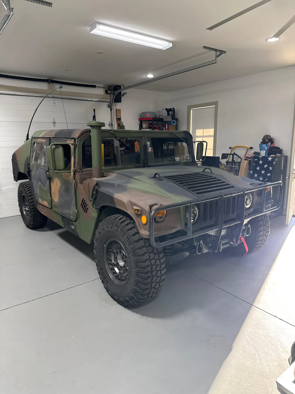
As a private pilot, comms are always on my mind. I have a Marine Corps HUMVEE that requires hearing protection. This solves that challenge and allows conversation while on the move
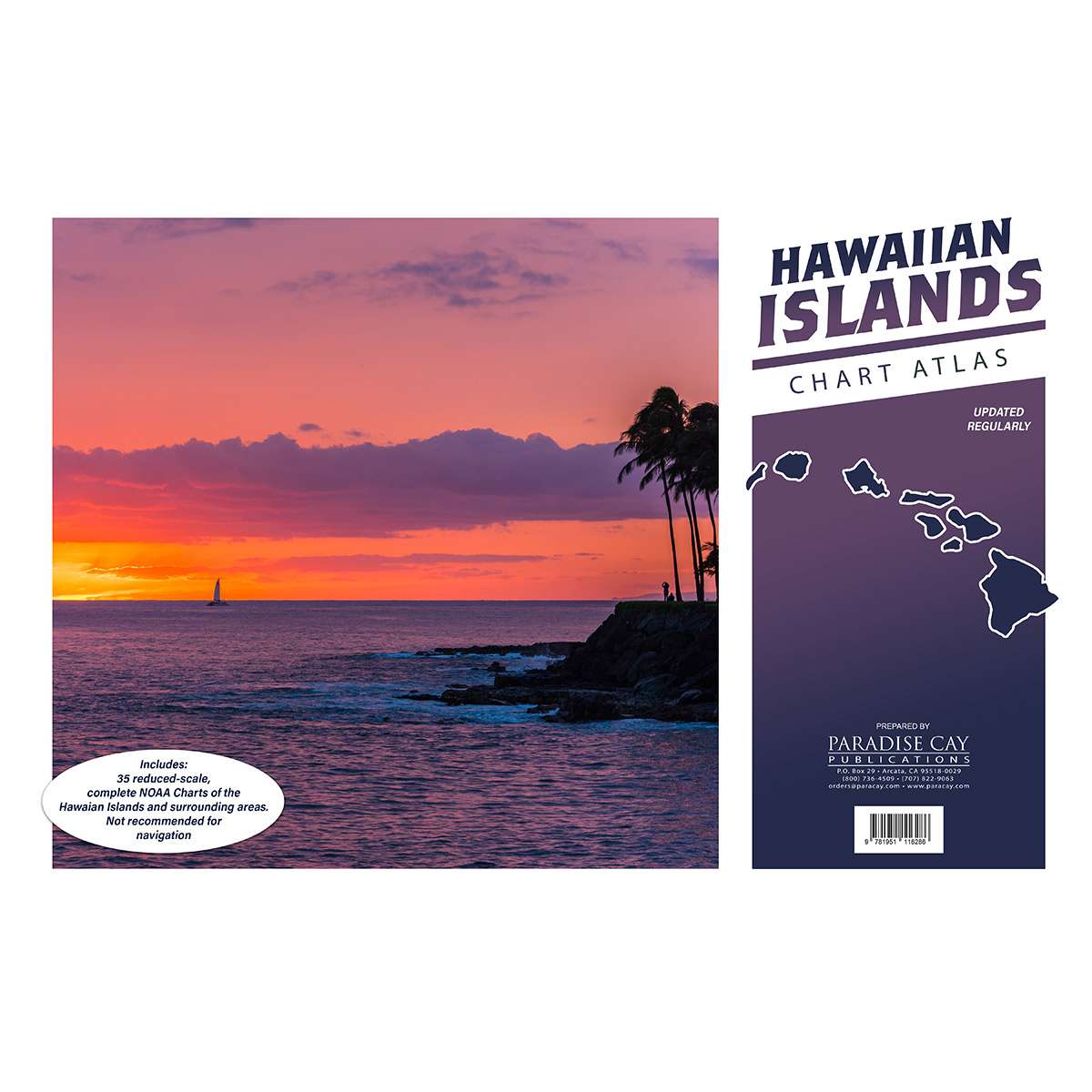
Over abundance of information provided in this book that is explained in easily understood terms with easily comprehended imaging. Well worth the money.
I absolutely love this product. I have used it for years, but I have to say the shipping took over 30 days. Not sure why but it did so I’m not that satisfied with that part but I love the product.