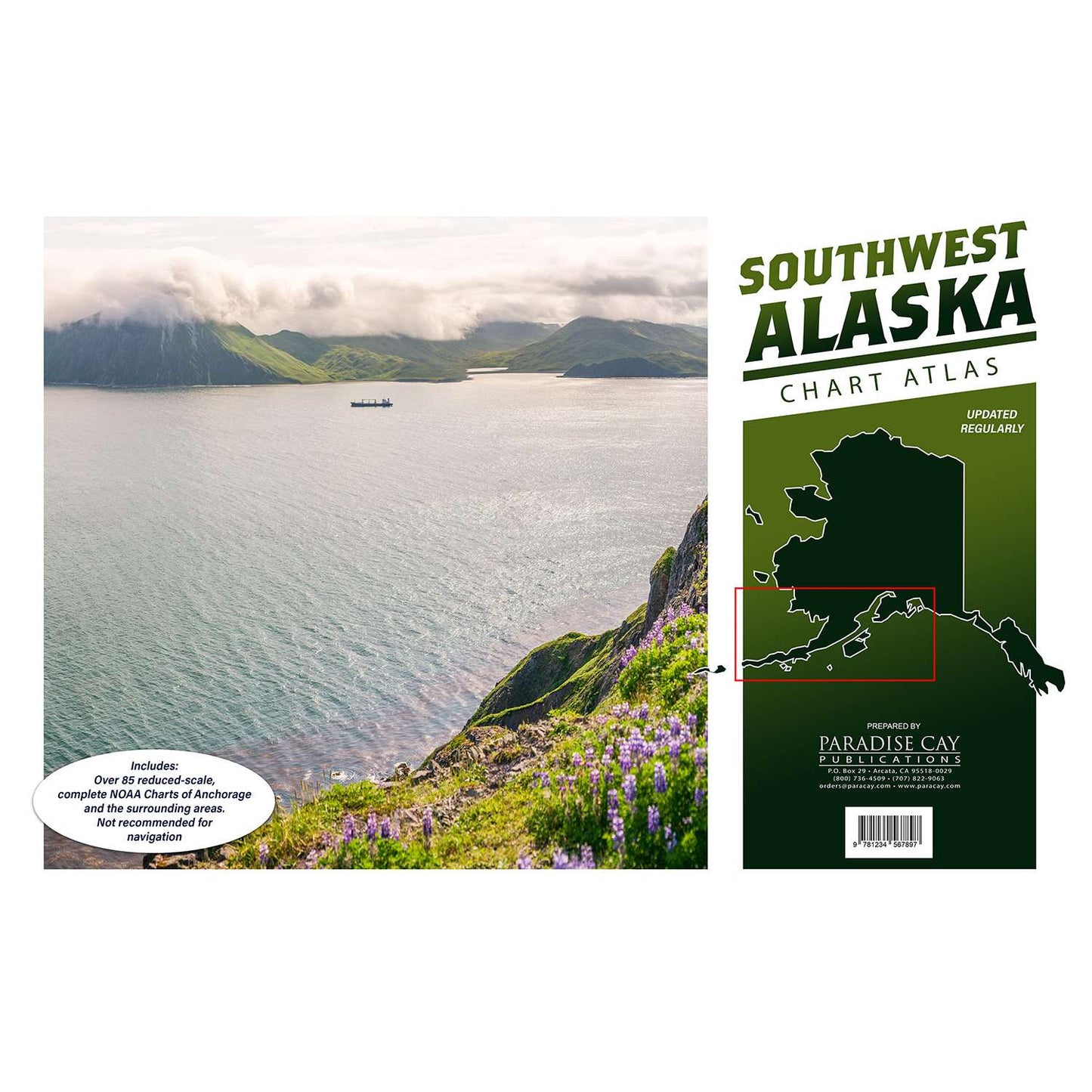
I bought these for my Grandaughter who has her private Pilots license since she was 16. She is a Freshman in college studying Aviation. She was so excited to get them and just loves them!!
Product functions perfectly. Interaction with staff was exemplary.
Difficult to imagine a more positive experience.
The shipping took forever and when i finally received a tracking number it was cancelled. When I emailed and said that I wanted to cancel the order, I was given a new tracking number instead and was told that the order was on the way so I couldn't cancel it.
Hello Mr James,
We did provide the incorrect tracking to you initially, which is our fault. We did reship it at the same time but issued a different tracking number. We are truly sorry this was not sent to you. Since your package was already in transit we were not able to recall the package due to the carrier chosen. We did suggest to you to refuse the package so it would automatically be returned to us. This would have been the only way for the package to auto return to us. USPS does not offer a package intercept. Now I see the package was delivered to you on December 26, 2025. Would you still be returning the product for a refund?
Customer service was very accommodating in helping me adjust an order I placed. Item shipped quickly and was well packaged.


