

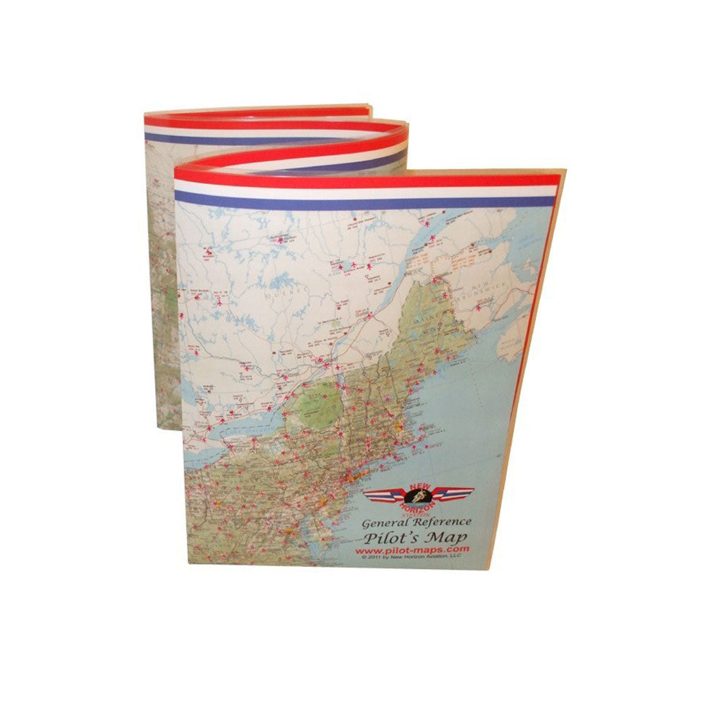
Received well packaged. Product as advertised. Exactly what I needed. Price most reasonable compared to other sources. Very satisfied.
The model arrived after a long delay on backorder (a few months). Pilots HQ was always pretty fast with a response when asked for updates, etc.
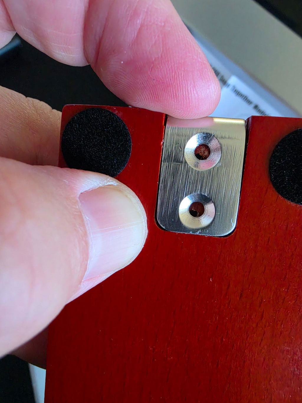
The issue is that the model arrived with the pre-drilled holes being misaligned, so that you could not assemble the wooden base to the metal stand. Fortunately, I had the tools available to somewhat fix the issue, but others may not.
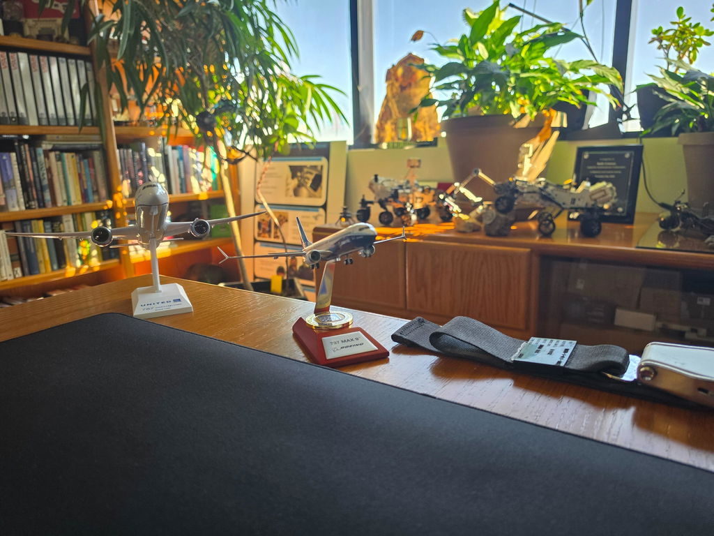
Everything was secured and wrapped perfectly! It came in great condition🤌🏾
I was ok with waiting but it did take over 2 months. The right parts at a reasonable price!